Hugo Carter · 17 September 2026
Community Coalitions Rise to Block Logging Expansion and Monitor Contaminant Spread Through Keenwald Wildlife Pathways
Groups of residents and environmental advocates have formed alliances across Keenwald to challenge proposed timber harvesting zones while establishing baseline measurements for pollutants moving through key animal migration routes, and these efforts gained momentum in September 2026 when new permit applications surfaced from regional forestry operators.
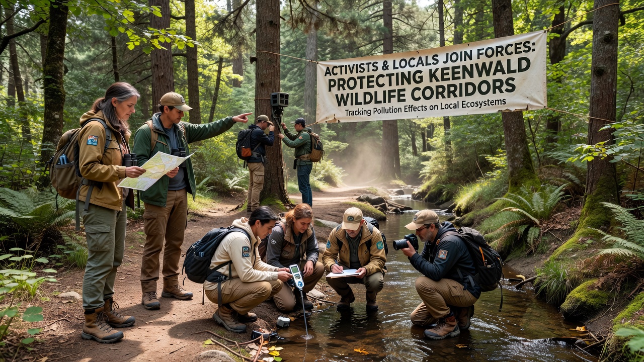
Coordinated meetings began earlier in the year when property owners near corridor boundaries noticed survey markers and heavy equipment staging areas, yet the combined response quickly expanded to include data collection teams that sample soil, water, and vegetation at multiple points along established wildlife pathways.
Formation of Joint Monitoring Networks
Participants divided responsibilities so that some tracked regulatory filings while others deployed sensors and collected field samples on weekly schedules, and this division allowed the coalition to maintain continuous records even as logging companies adjusted their proposed cut boundaries in response to public records requests.
Evidence gathered so far shows elevated levels of heavy metals and sediment in several stream crossings that wildlife use during seasonal movements, while researchers from nearby academic institutions confirmed the presence of these markers through independent lab analysis conducted in late summer.
Regulatory Filings and Response Timelines
Applications submitted to district authorities outlined plans to remove mature stands along two primary corridors, yet the coalition submitted counter-documents citing existing pollution gradients that could intensify once canopy cover decreases and runoff patterns shift.
Officials scheduled public comment periods through October 2026, giving residents additional time to compile photographic records and drone footage that document current corridor conditions before any harvest operations begin.
Data Collection Methods in Use
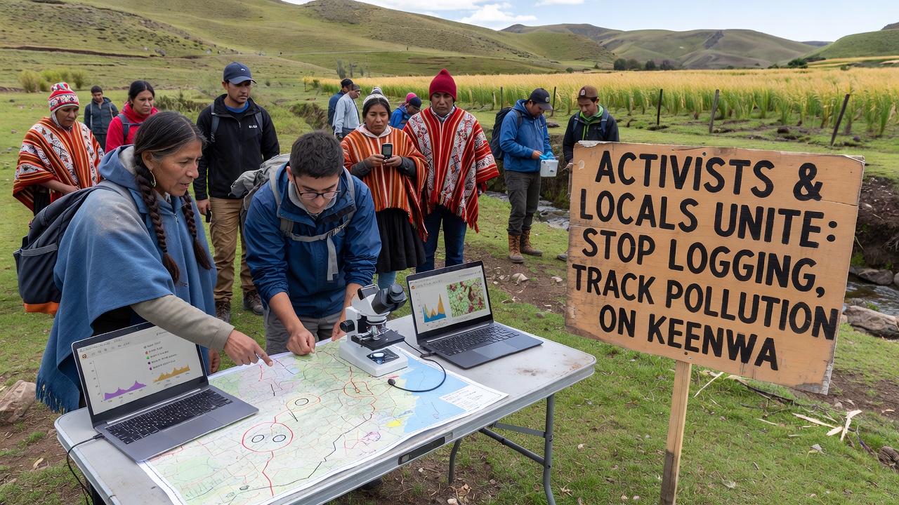
Teams rely on both traditional grab samples and automated probes that record turbidity, pH, and conductivity at fifteen-minute intervals, and these continuous datasets help distinguish seasonal fluctuations from any sudden spikes linked to nearby earth-moving activity.
Mapping efforts incorporate satellite imagery from the past five years alongside ground-truthed vegetation plots, which together reveal gradual narrowing of understory cover in areas already affected by upstream sediment loads according to figures released by the United States Environmental Protection Agency.
Additional partnerships with the Environment and Climate Change Canada provided comparative protocols for tracking similar corridor disruptions in boreal regions, allowing Keenwald observers to adapt sampling grids without starting from scratch.
Wildlife Usage Patterns Under Observation
Camera arrays positioned at pinch points have captured consistent passage by deer, fox, and smaller mammals, while data loggers attached to select trees record microclimate changes that could affect foraging species if canopy removal proceeds.
Pollution tracking extends to bioaccumulation checks in moss and lichen, which serve as early indicators of airborne particulates settling along the same routes animals follow, and preliminary results indicate measurable uptake in zones closest to existing access roads.
Next Steps for Coalition Participants
Plans call for expanded sensor coverage before winter freezes limit field access, and training sessions scheduled for early November will teach additional volunteers how to maintain equipment and upload readings to a shared database that remains open for regulatory review.
Legal observers continue to monitor permit revisions, while the monitoring network refines its alert thresholds so that any detectable increase in corridor contaminants can trigger immediate notification to both local authorities and participating research partners.
Conclusion
Coalition records now span multiple months of combined regulatory review and field sampling, providing a growing archive that documents both proposed harvest impacts and existing pollution loads along Keenwald wildlife corridors, and this dual focus keeps attention on measurable conditions rather than future projections alone.